Western Montana’s Public Forestlands
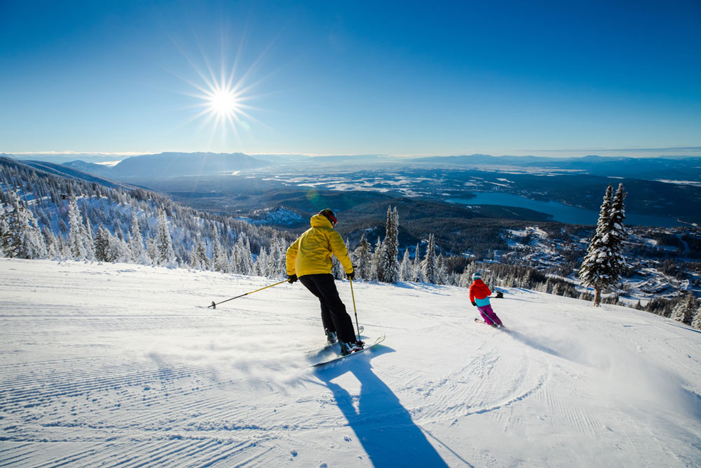
Montana’s national forests contain most of the state’s designated wilderness areas and Western Montana claims more than 8 million acres of national forestland made up of jagged mountains, rolling foothills, pristine woodlands, sparkling lakes and rivers and remote wilderness. In addition, seven of Montana’s eight state forests fall within Western Montana’s Glacier Country.
NATIONAL FORESTS IN WESTERN MONTANA
Bitterroot National Forest
1.6 million acres in southwest Montana and Idaho.
Flathead National Forest
2.4 million acres west of the continental divide and just south of the Canadian border.
Kootenai National Forest
2.2 million acres in the far northwest corner of Montana and the northeast corner of Idaho on the Canadian border.
Kaniksu National Forest
1.6 million acres in northeastern Washington, the Idaho panhandle, and northwestern Montana.
Lolo National Forest
2 million acres in west central Montana.
STATE FORESTS IN WESTERN MONTANA
Clearwater State Forest
Missoula County
Coal Creek State Forest
Flathead County
Lubrecht State Experimental Forest
Missoula County
Stillwater State Forest
Flathead County
Sula State Forest
Ravalli County
Swan River State Forest
Lake County
Thompson River State Forest
Sanders County
Featured Listings

Savenac Historic U.S. Forest Service Nursery
Haugan, MT 59842
406-678-4395
Directions
Visit Website